
3731 Lake Shore Drive, Port Arthur, Texas
These three maps should explain the location of Port Arthur, Texas and 3731 Lake Shore Drive.
Maps found on Mapquest.
This map shows the general location of Port Arthur from Houston, Texas.
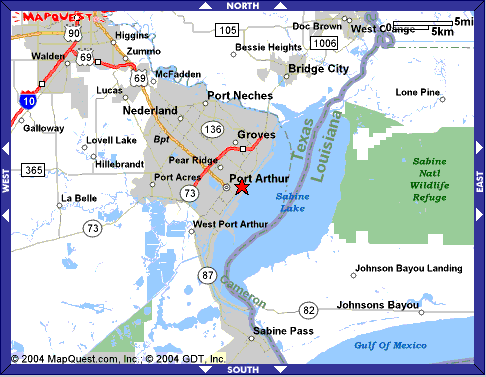
Port Arthur is situated beside Sabine Lake,
which is on the border of Texas and Louisiana.

This close-up map shows the location of the Lake Shore property in reference to
Pleasure Island, the Intercoastal Waterway and Sabine Lake.
Although featureless on this map, Pleasure Island is developed.
Online Highways website says this about Pleasure Island:
"Connected to city by the King-Gulfgate Bridge and also accessed by TX 82 from LA,
this island is in Sabine Lake, a 100-sq-mile lake opening to the Gulf.
Golf course, marina, boat ramps and miles of free roadside fishing for redfish, drum,
speckled trout, croakers and other species; excellent year round crabbing."